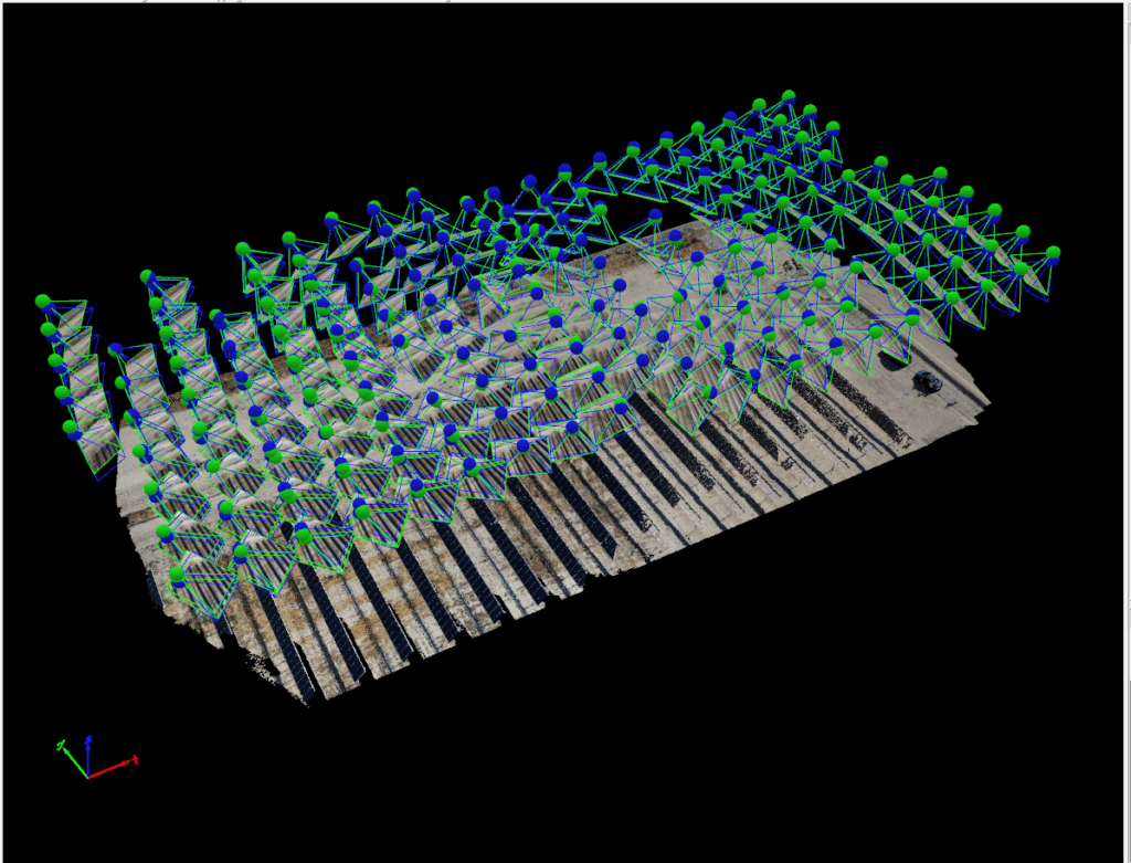
Soar Environmental Consulting has a variety of specialized cameras to meet your needs, including the use of Aerial Photography using Lidar, thermography, or thermal imaging. Completing aerial photography using Lidar and thermography on a UAV Platform offers the potential for significant savings over conventional airplane or helicopter operations.


301 N. Lake #600
Pasadena, CA 91101
626-742-0282
3626 Fair Oaks Boulevard, #100
Sacramento, CA 95864
916-936-8287
1322 E. Shaw Avenue #400
Fresno, CA 93710
559-547-8884

© 2020 Soar Environmental Consulting. All rights reserved.
Aerial Lidar and Thermography
Utilizing our UAV coupled with a Lidar or thermal imaging camera and software, Soar Environmental Consulting will capture images of a variety of projects. These projects include the composition of topography, photovoltaic plants or commercial or residential solar projects to discern land and soil composition or the overall health of your solar power system.
Lidar, which stands for Light Detection and Ranging, is a method that uses light in the form of a pulsed laser to measure ranges (variable distances) to the Earth. These light pulses—combined with other data recorded by the airborne system — generate precise, three-dimensional information about the shape of the Earth and its surface characteristics.
Photothermography is cutting-edge technology that can distinguish between peak-performing solar panel Arrays and components experiencing issues such as overheating, arcing, or power loss. Our UAV system outperforms other markets due to our extended flight time, stabilization system, and lower overhead costs.
Contact Soar Environmental Consulting for more information!