Top 5 Methods of Environmental Inspections and Surveys
SoarHere.com – Environmental inspections and surveys are essential for evaluating site conditions, managing risk, and meeting regulatory requirements. These assessments provide insight into how land, water, and infrastructure interact, helping organizations make informed decisions throughout a project lifecycle.
They are commonly used across industries such as energy, utilities, construction, and land development, where environmental performance and compliance are critical. A well-executed inspection process helps identify potential issues early, reduce long-term costs, and support sustainable project outcomes.
Modern environmental assessment practices combine field expertise with advanced technologies to improve accuracy, efficiency, and safety. Rather than relying on a single method, professionals use a combination of tools to collect, validate, and analyze data.
The following five methods represent the most effective approaches used in environmental monitoring and site assessment today.
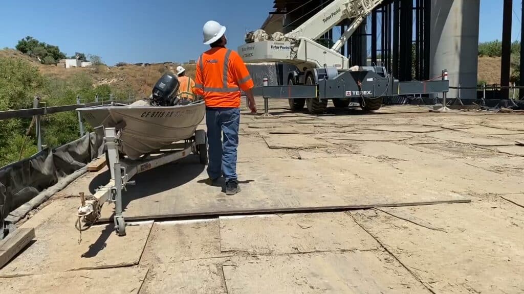
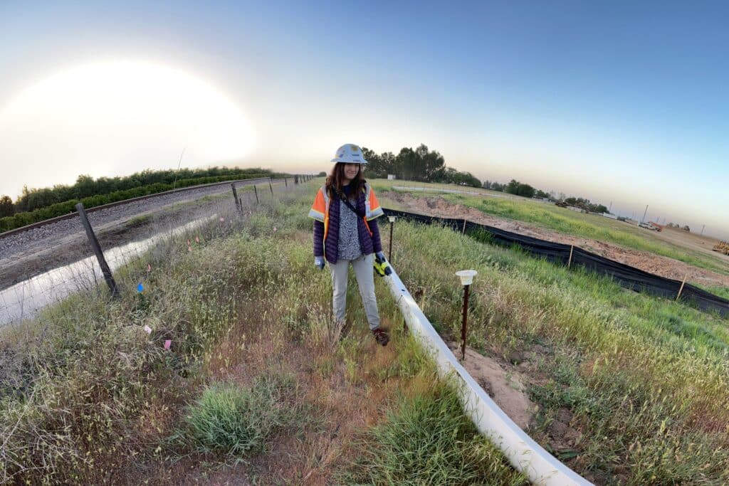
Ground-Based Environmental Surveys and Sampling
Senior Marketing Manager for Soar Environmental Consulting, Jon Sarquis, notes, “Field-based inspections remain a critical part of environmental assessments. While aerial methods provide broad coverage, on-site surveys deliver measurable data that support analysis and regulatory reporting.”
Common field activities include seeking biological and cultural resources, soil sampling, water testing, and air quality monitoring. These processes provide direct insight into environmental and cultural conditions and help identify concerns such as onsite resources, contamination, erosion, or ecosystem disruption.
Survey data is essential for environmental compliance, permitting, and long-term monitoring programs.
Field surveys also play a key role in validating remote data. By confirming conditions on-site, they improve the accuracy and reliability of overall assessments. This combined approach ensures that decisions are based on both broad observations and detailed measurements.
Although more time-intensive, ground-based work remains necessary for comprehensive environmental evaluation.
GIS Mapping and Environmental Data Analysis
Geographic Information Systems (GIS) provide a framework for organizing and analyzing environmental data. By integrating inputs from aerial surveys, fieldwork, and remote sensing, GIS enables a more comprehensive understanding of site conditions.
This approach enables professionals to visualize spatial relationships, identify trends, and assess potential impacts across a project area. It is widely used for planning, monitoring, and regulatory reporting.
Sarquis goes on to say, “Our GIS team supports the creation of detailed maps that highlight environmental features, infrastructure, and areas of concern. These visual tools improve communication between project teams, stakeholders, and regulatory bodies.”
In addition, GIS can be used to model future scenarios, helping organizations anticipate risks and make proactive decisions. By transforming raw data into structured insights, GIS plays a central role in modern environmental management.
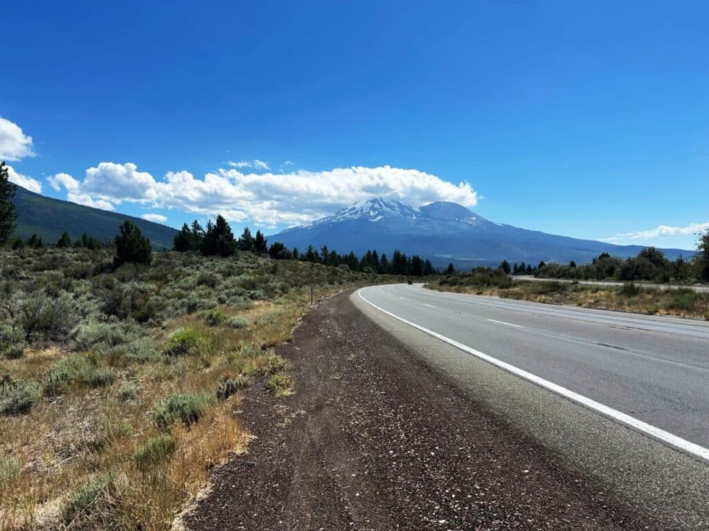
UAV Environmental Inspections
Unmanned Aerial Vehicles (UAVs), or drones, have become a leading tool for collecting environmental data. They allow inspection teams to survey large or inaccessible areas quickly while minimizing the need for ground access.
Drone-based inspections are commonly used to evaluate terrain conditions, vegetation coverage, drainage patterns, and surface disturbances. They are particularly effective for infrastructure corridors such as pipelines, transmission lines, and right-of-ways, where consistent monitoring is required over long distances.
One of the main advantages of UAV technology is efficiency. Large areas can be documented in a fraction of the time required for manual surveys, allowing organizations to respond quickly to changing conditions or project requirements.
Safety is another important factor. UAVs eliminate the need for personnel to work in hazardous environments, such as steep terrain, unstable ground, or extreme weather. This significantly reduces risk exposure while maintaining consistent data quality.
In addition to operational benefits, UAV inspections provide high-resolution imagery and video that support reporting and compliance documentation. These visual records can be archived and referenced over time, allowing project teams to monitor trends, identify gradual changes, and improve long-term planning.
LiDAR and Advanced Aerial Imaging
LiDAR and advanced imaging technologies provide detailed environmental data that goes beyond standard visual observation. These tools capture elevation, structure, and thermal variations, enabling more precise analysis of site conditions.
LiDAR uses laser scanning to create accurate three-dimensional models of terrain and surface features. This supports applications such as elevation mapping, drainage analysis, slope stability assessment, and route planning. It is especially useful in vegetated areas where ground visibility is limited.
Thermal imaging complements LiDAR by detecting temperature differences across a site. These variations can indicate moisture issues, vegetation stress, or inefficiencies within infrastructure systems that may not be visible through traditional methods.
When integrated with aerial platforms, these technologies deliver high-resolution datasets that support engineering design, environmental planning, and risk assessment. Their level of detail makes them particularly valuable for projects that require accurate terrain modeling or early identification of potential issues.
Underwater Inspections
Subsurface environments require specialized inspection methods. Underwater surveys provide visibility into conditions that cannot be assessed from above, making them an important part of complete environmental evaluations.
These inspections typically use remotely operated equipment equipped with cameras and sonar systems. This allows teams to observe submerged structures and aquatic environments without direct human exposure.
Underwater inspections are commonly used to assess dams, reservoirs, intake systems, and other submerged infrastructure. They help identify sediment buildup, structural damage, and obstructions that may affect performance or environmental conditions.
In addition to infrastructure evaluation, these surveys can support environmental monitoring by assessing aquatic habitats and identifying changes in underwater ecosystems.
By providing accurate and direct observations, underwater inspections reduce uncertainty and improve decision-making while maintaining a high level of safety.
Choosing the Right Inspection Approach
No single method can provide a complete understanding of environmental conditions. The most effective strategies combine multiple techniques to capture different types of data and perspectives.
A balanced approach may include aerial surveys for rapid coverage, LiDAR for terrain modeling, field sampling for validation, underwater inspections for submerged assets, and GIS for integration and analysis.
So what is the right combination? “Selecting the right combination depends on project scope, site conditions, and regulatory requirements,” says Sarquis. By aligning inspection methods with project goals, organizations can improve efficiency while ensuring data accuracy and reliability.
Conclusion
Environmental inspections and surveys are essential for responsible project development and long-term environmental management. Advances in technology have improved how data are collected and interpreted, enabling more efficient and reliable assessments.
By combining field methods, aerial methods, advanced sensing technologies, and spatial analysis, organizations can gain a clearer understanding of site conditions and potential risks. This integrated approach supports better planning, reduces uncertainty, and helps maintain compliance with evolving environmental standards.