CEQA & NEPA Consulting
Initial studies, EIR/EIS, and mitigation monitoring, the documents that get a project approved and keep it defensible, start to permit.
Biological Resources Consulting
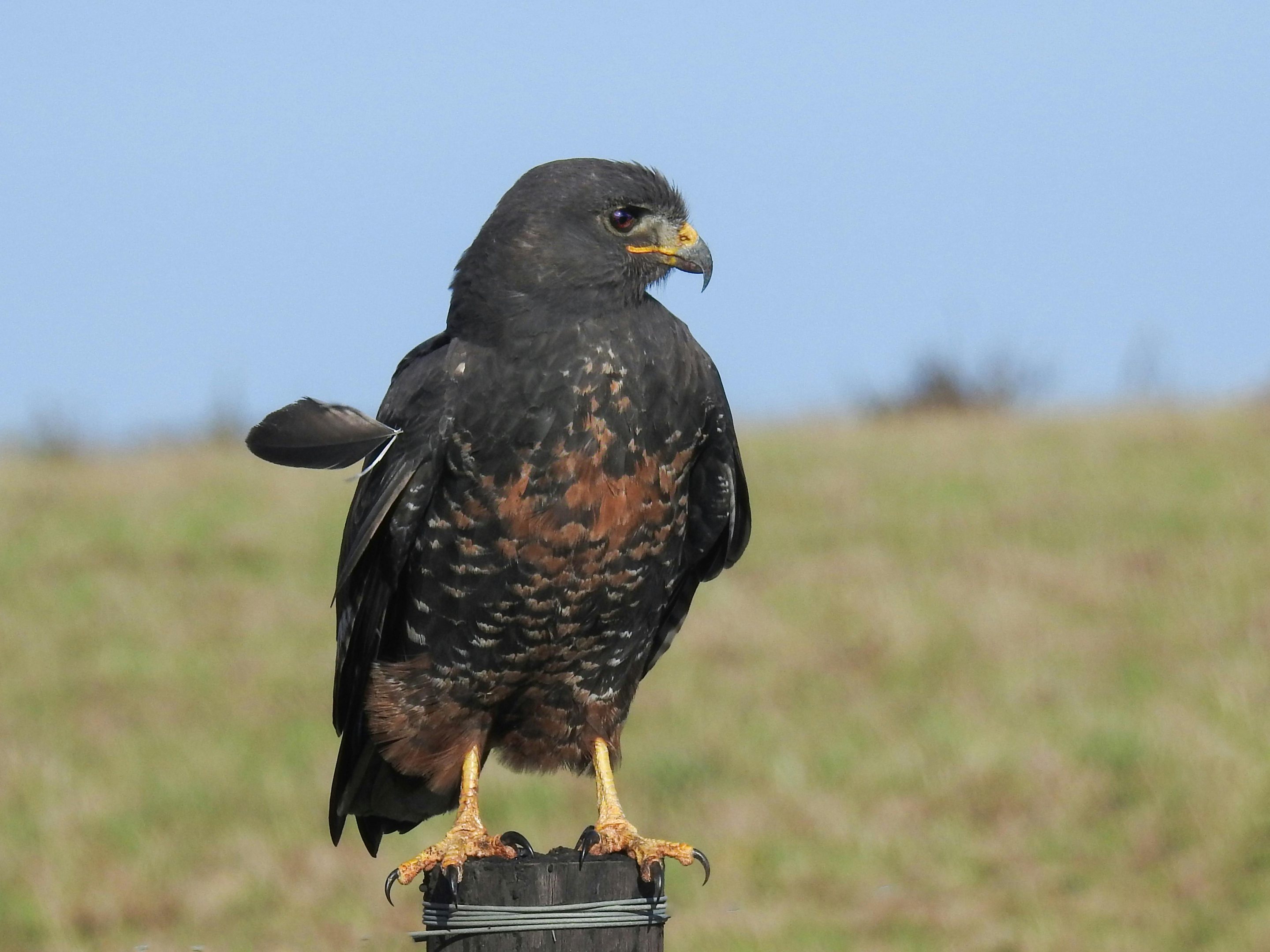
Protocol-level surveys, habitat assessment, and botany by field biologists who know California's listed species and agencies.
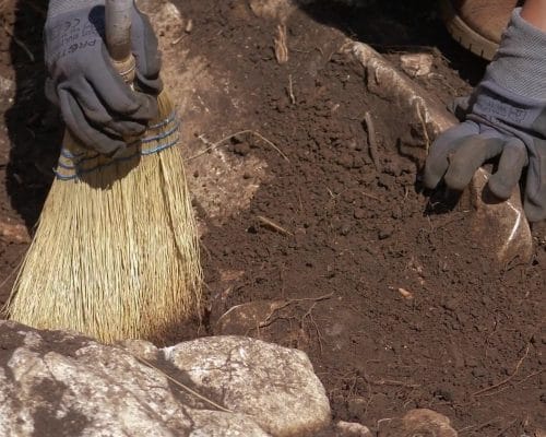
Archaeological Consulting
Resource evaluations, records searches, and construction monitoring that keep ground-disturbing work compliant and respectful.
Hazardous Materials Consulting
Phase 1 and 2 environmental site assessments, remediation oversight, and lead and asbestos surveys for redevelopment.
Geological & Hydrological Services
Geotechnical testing, slope and fault evaluation, and consulting that grounds a project in what the site can actually carry.
Environmental Permitting Services
USACE, CDFW, and SWRCB permitting handled end to end, we package the application, manage agency review, and carry it to issued.
View permittingGIS Consulting & Mapping
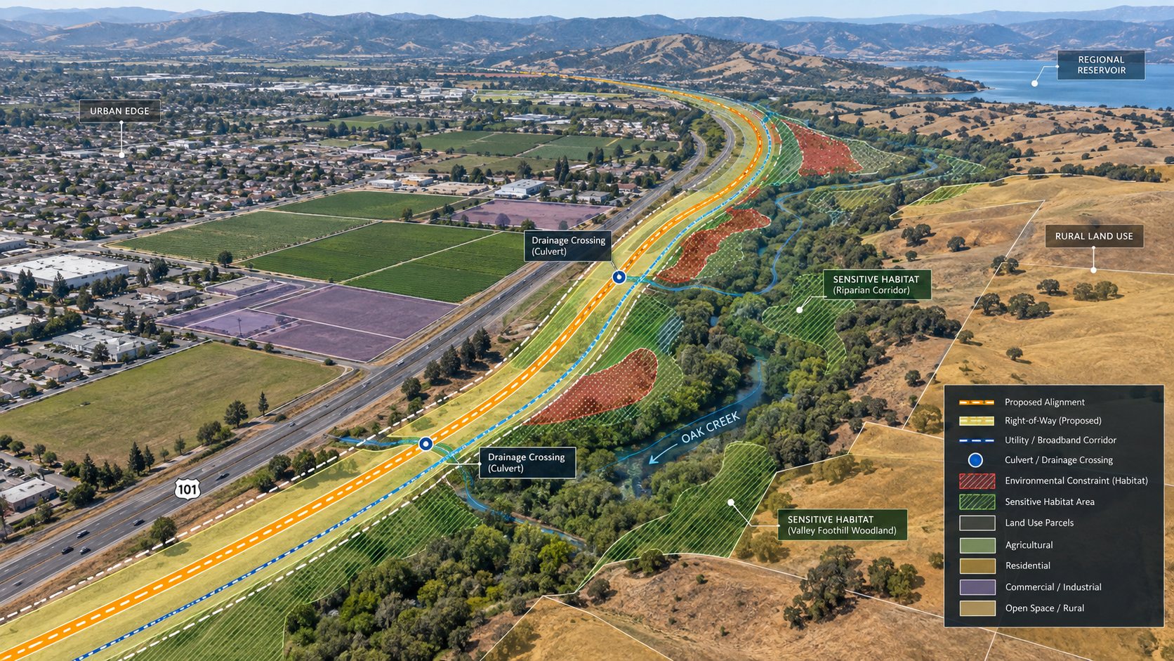
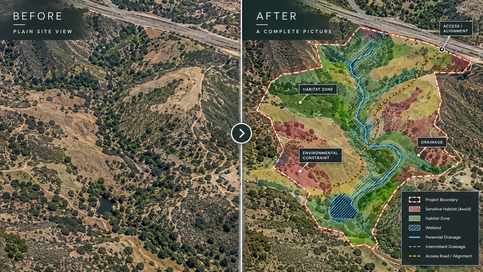
Mapping and geospatial analysis that show the wetlands, habitat, and permitting constraints on a site before they cost you time.
 FeaturedCapabilities StatementSee the full SOAR overview.
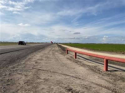
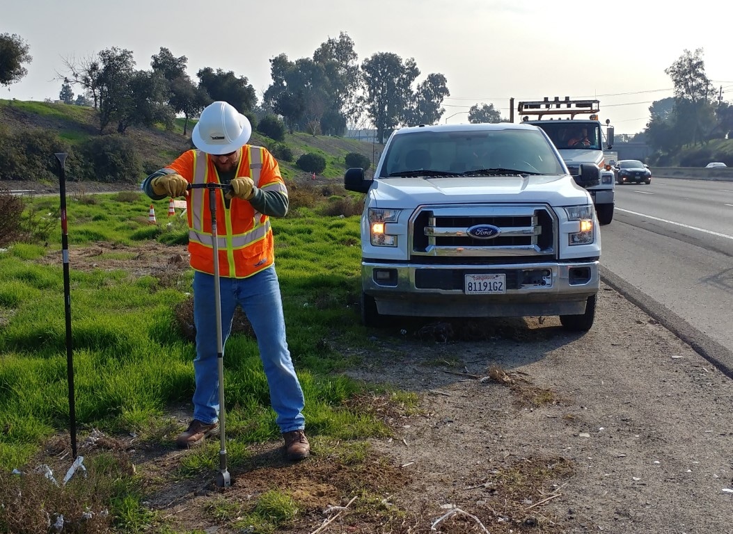
Transportation & Infrastructure
Transportation projects can cross habitats, waterways, cultural resources, jurisdictions, and regulatory boundaries, often across miles of changing conditions.
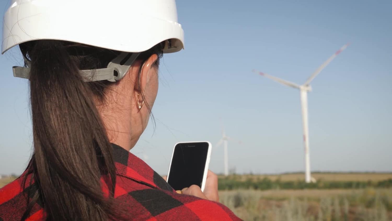
View this industryUtilities & Energy
Whether you’re building, upgrading, or maintaining critical infrastructure, environmental requirements can have significant implications for routing, permitting, construction, and schedule.
View this industryCommercial & Residential Development
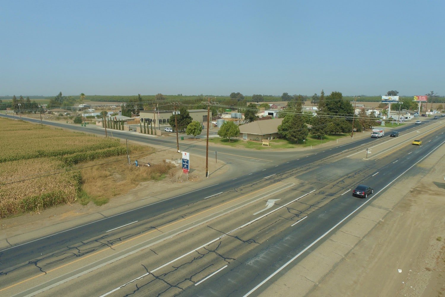
Environmental due diligence starts with a simple question: what you discover about a property can influence what you’re able to build on it.
View this industryGovernment & Public Agencies
Public projects demand environmental work that is scientifically sound, regulatory compliant, defensible, and accountable to the communities they serve.
View this industryWater & Natural Resources
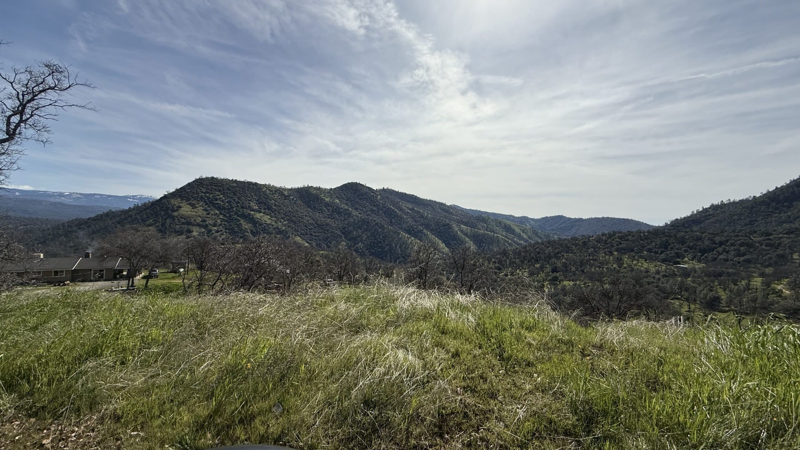
Water projects exist at the intersection of infrastructure, ecology, regulation, and public need.
View this industryEducation & Institutional
Schools, universities, healthcare facilities, and other institutional properties face environmental considerations that can affect acquisition, expansion, renovation, construction, and ongoing operations.
View this industryGIS Consulting & Mapping
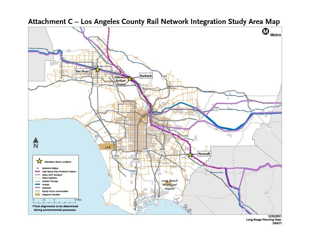
Soar’s Geographic Information Systems (GIS) consulting and mapping services transform complex geographic data into actionable insights, helping you evaluate alternatives, understand environmental constraints, and make informed decisions before they affect your schedule or budget.
View this industry IndustriesBuilt around your projectSeven industries, one team.